Canada Map - Illustration
Premium
Subscribe to unlock unlimited access to 397300+ premium assets
Share:
Authorization required
Added to collection Add to collection


Short description:
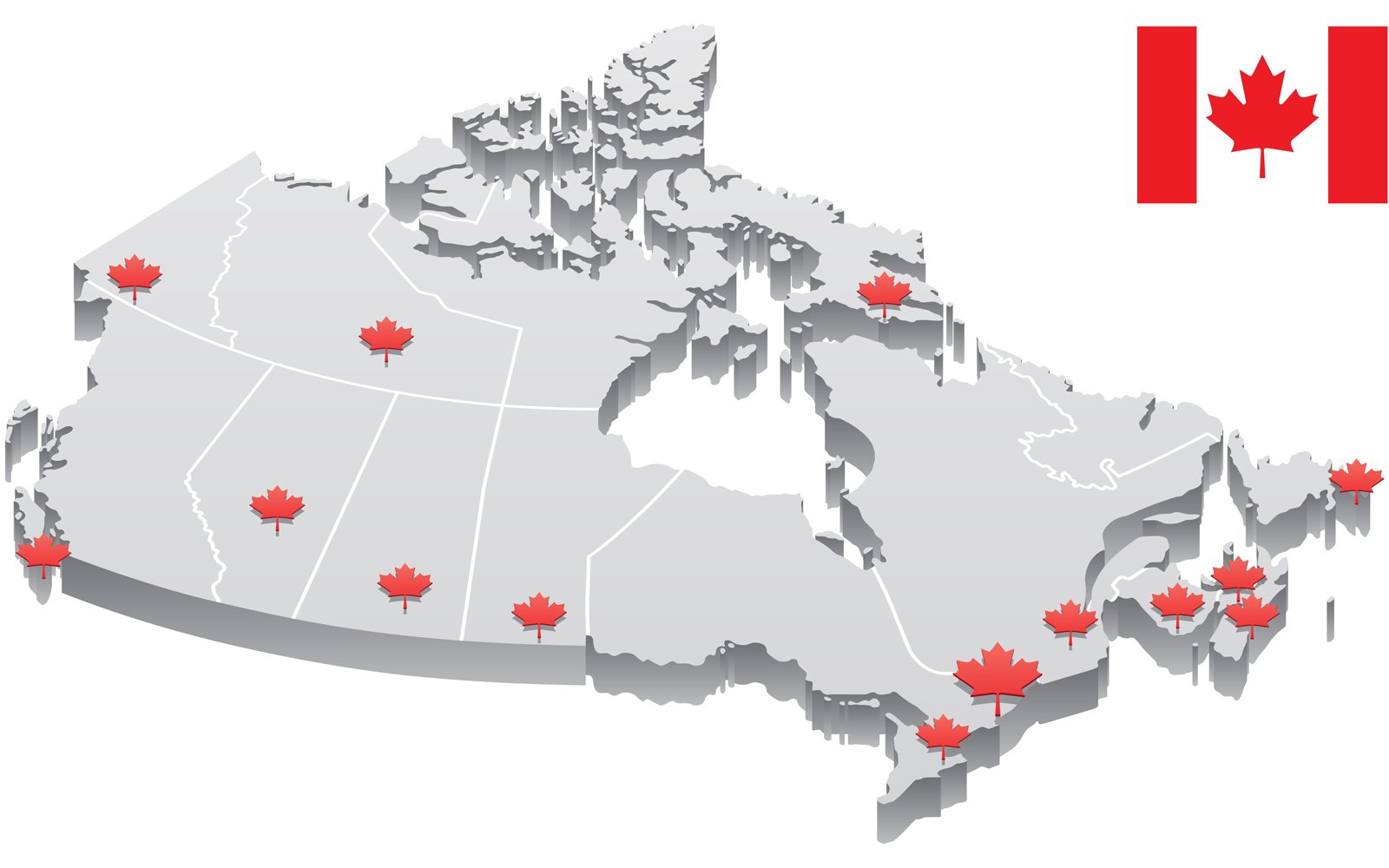
3D map of Canada showing capitals of provinces and territories as well as borders. Capitals as well as borders are on separate layers so you can edit them. Canadian flag is included in addition.
- CDR, AI, EPS, JPEG (high-resolution, 300ppi), PNG and SVG files are included in the ZIP archive.
- For more illustrations and graphics like this – check my portfolio.
Show more hide
Similar Graphics
see all
Authorization required
Authorization required
Authorization required
Authorization required
Authorization required
Authorization required
More From Malchev
see all
Authorization required

Authorization required

Authorization required

Authorization required

Authorization required

Authorization required
Additional info